January 2023 (127.1)
Article
A Spatial Network Analysis of Water Distribution from Public Fountains in Pompeii
The transport of water from street fountains into living spaces was tedious but essential labor that impacted the health and social integration of subelite populations, yet it remains understudied in work on Pompeii’s public water system. This article uses spatial network analysis to demographically model public fountain use at a unit-level scale. Dynamic neighborhoods are identified using least-cost routes between every external door and fountain in the city. Maximum and minimum ranges of labor and water accessibility are quantified by total daily time and energy fetching water per household, aggregate pedestrian traffic to fountains, and fountain crowding or underuse. Data are contextualized within disruptions to the water system from seismic events in the city’s final decades, the contributions of cistern and private water lines to daily needs, and comparative and primary textual evidence for the socioeconomic status and well-being of water fetchers. The results expose disproportionate inequality at the system’s peripheries, although most residents enjoyed good water access. Moreover, they reconstruct the scale of labor of marginalized sectors of Roman society that is underrepresented in textual and artistic sources, offering quantifiable comparanda for further studies on water accessibility in antiquity.
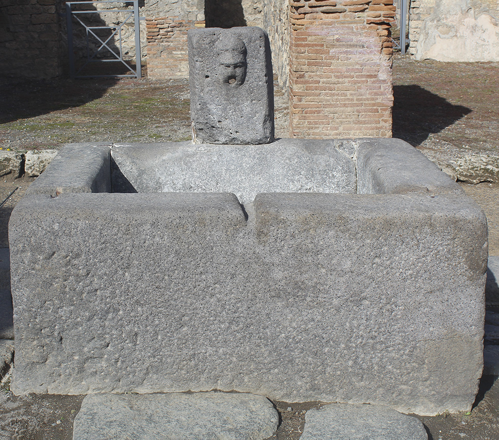
Basin fountain no. 28 in Pompeii (R. Vennarucci; by permission of the Ministry of Culture – Archaeological Park of Pompeii).
Basin fountain no. 28 in Pompeii (R. Vennarucci; by permission of the Ministry of Culture – Archaeological Park of Pompeii).