AJA Open Access
July 2008 (112.3)
Image Gallery
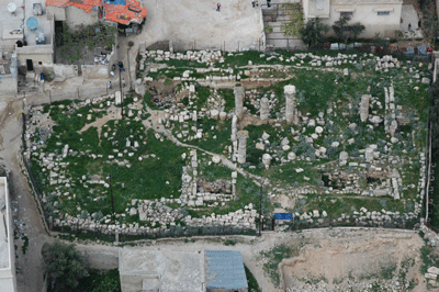
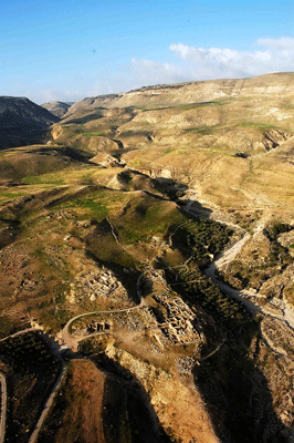
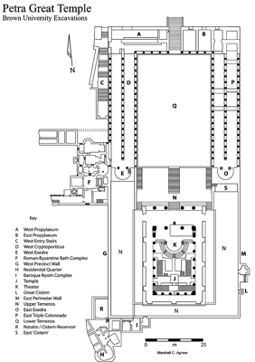
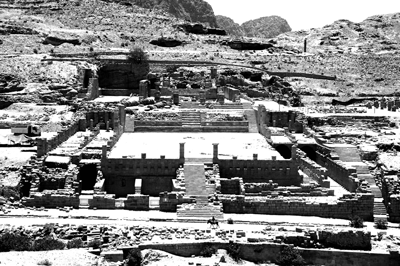
Archaeology in Jordan, 2007 Season
By Christopher A. Tuttle, Donald R. Keller and Stephen H. Savage
Unless otherwise noted in the caption, images are by the author. Images are not edited by the AJA to the same level as those in the published article.